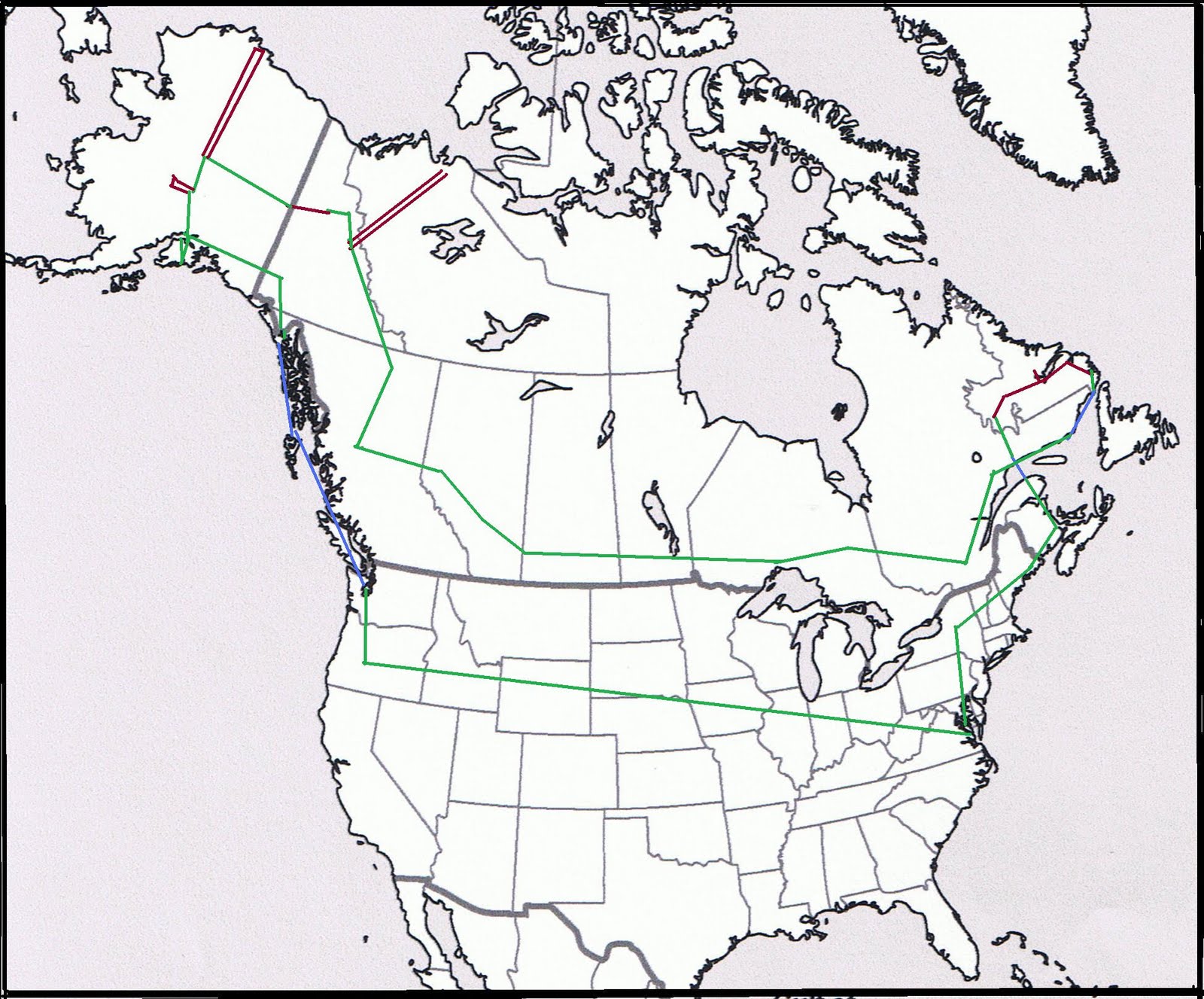
This map gives you a rough outline of the route of my upcoming trip.
Double lines means up and back.
Green lines means by Defender 90 on roads.
Brown lines mean dirt and gravel roads (about 3000 miles in total).
Blue lines mean by ferry.
Single click on map to zoom in once; click again to zoom in further.
Lines may not be in precise locations.
Double lines means up and back.
Green lines means by Defender 90 on roads.
Brown lines mean dirt and gravel roads (about 3000 miles in total).
Blue lines mean by ferry.
Single click on map to zoom in once; click again to zoom in further.
Lines may not be in precise locations.